Research infrastructures and observation networks in CARGO-ACT
Research Infrastructure for Aerosols, Clouds and trace gases
ACTRIS (https://www.actris.eu) is a long-term activity with more than 100 European partners within a single, pan-European, sustainable and distributed research infrastructure, to cover both the 4-dimensional (4-D) observations (latitude, longitude, height, time) and process understanding for short-lived atmospheric constituents: aerosol, cloud and trace gases. The ACTRIS mission is to integrate, harmonise and distribute the high-quality observations provided by first-class facilities for atmospheric research currently located in 22 European countries and other locations globally, and to operate the pan-European distributed research infrastructure providing open and effective access to unique resources
and services to a wide user community of Earth system research. ACTRIS was established as an ERIC in 2023 and is represented in this consortium by FMI, NILU, UHEL, BIRA-ISAB, CNR, CNRS, TROPOS and INOE.
Atmospheric Radiation Measurement User Facility
The U.S. Department of Energy’s Atmospheric Radiation Measurement (ARM) user facility (https://www.arm.gov/) operates a network of extensively instrumented long-term fixed-location observatories and mobile facilities together with an aerial component providing measurements of atmospheric properties and properties of the underlying land surface through the continuous operation of approximately 400 ground-based instruments. The ARM facility is managed and operated by nine DOE laboratories. ARM began collecting observations in 1992 and the ARM mission is to provide the climate research community with strategically located in situ and remote-sensing observatories designed to improve the understanding and representation, in climate and earth system models, of clouds and aerosols as well as their interactions and coupling with the Earth’s surface. ARM measurements contribute to a wide range of interdisciplinary science in areas such as meteorology, atmospheric aerosols, cloud processes, radiation, hydrology, and biogeochemical cycling and are used for satellite validation and the validation and development of atmospheric processes in earth system models. ARM is represented in this consortium by PNNL, ORNL and BNL.
Micro-Pulse Lidar Network
The NASA Micro-Pulse Lidar Network (MPLNET, https://mplnet.gsfc.nasa.gov/) is a federated network of Micro-Pulse Lidar (MPL) systems designed for continuous long-term measurements of aerosol and cloud vertical structure, and boundary layer heights. MPLNET is composed of NASA sites and others run by, or with help from, partners from around the world. Principal investigators for individual network sites may be from NASA, other US government agencies, universities, or foreign institutions. MPLNET core activities and the NASA staff are funded by the NASA Radiation Sciences Program and the NASA Earth Observing System (EOS). Many individual network sites also have their own funding support. Most MPLNET sites are co-located with sites in the NASA Aerosol Robotic Network (AERONET). MPLNET is also a contributing network to the World Meteorological Organization (WMO) Global Atmospheric Watch (GAW) Aerosol Lidar Observation Network, GALION. MPLNET is represented in this consortium by NASA and UMBC.

NOAA Global monitoring laboratory
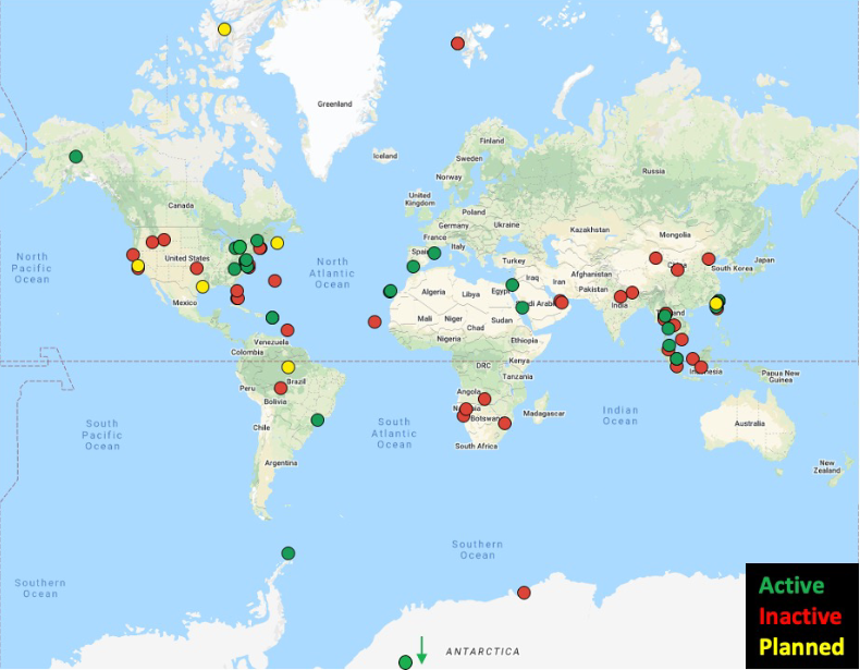
NOAA’s Global Monitoring Laboratory (GML, https://gml.noaa.gov/) has existed since 1972 under various names but with the same overarching goal of making high-quality, long-term measurements of atmospheric constituents to understand their impacts on climate. Individual groups within GML operate networks measuring aerosol particles, solar radiation, carbon cycle gases, ozone and ozone depleting substances. These measurements are made both within the US and internationally and these networks provide their data to international archives as well as to NOAA databases. GML maintains calibration scales and provides calibration services to support the World Meteorological Organization Global Atmospheric Watch programs for a subset of their network measurements. They maintain and support the NOAA Federated Aerosol Network (NFAN, 30 sites across 13 countries) which has some overlapping sites with ACTRIS and ARM. NOAA-GML is represented in this consortium by NOAA-GML and CIRES.

ACTRIS network map
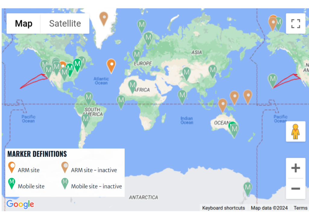
ARM network map
MPLNET network map
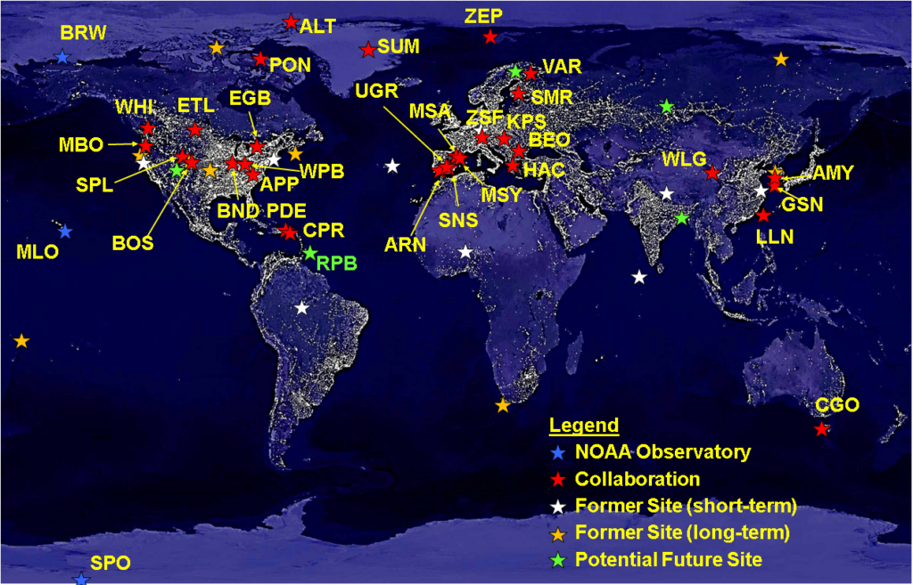
NFAN network map